

Arch Aerial is a drone services company helping energy and construction operators capture the most of their world.
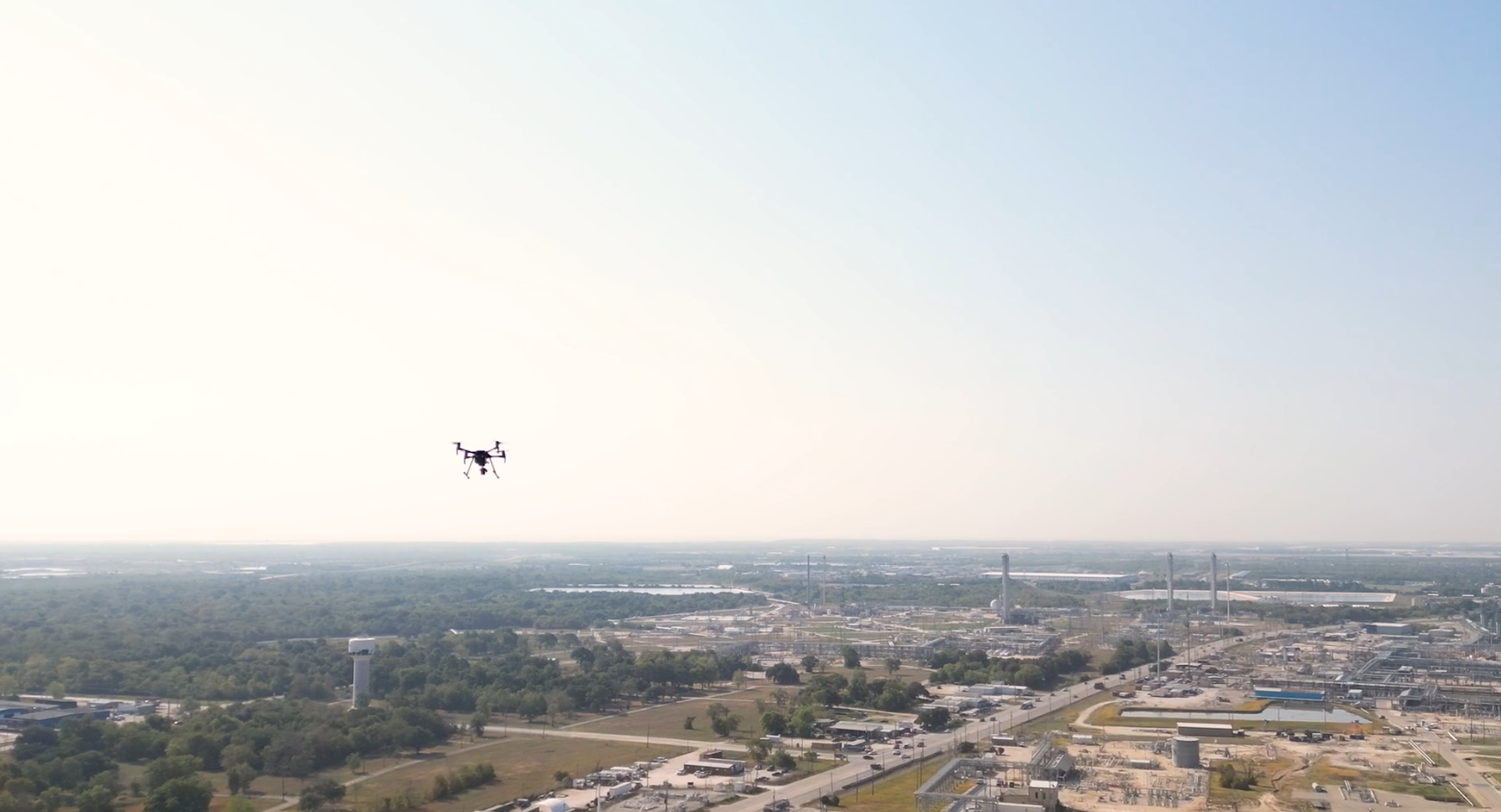
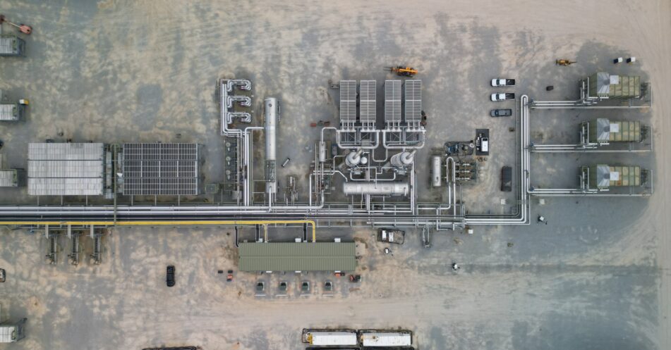
Yes. Pipeline operators are already using drones equipped with methane detection technology to perform aerial leak detection, and this has moved well beyond the proof-of-concept stage.
At Arch Aerial, we’ve been performing drone-based methane leak detection on real operating pipeline systems for years, including large linear projects covering hundreds and thousands of miles.
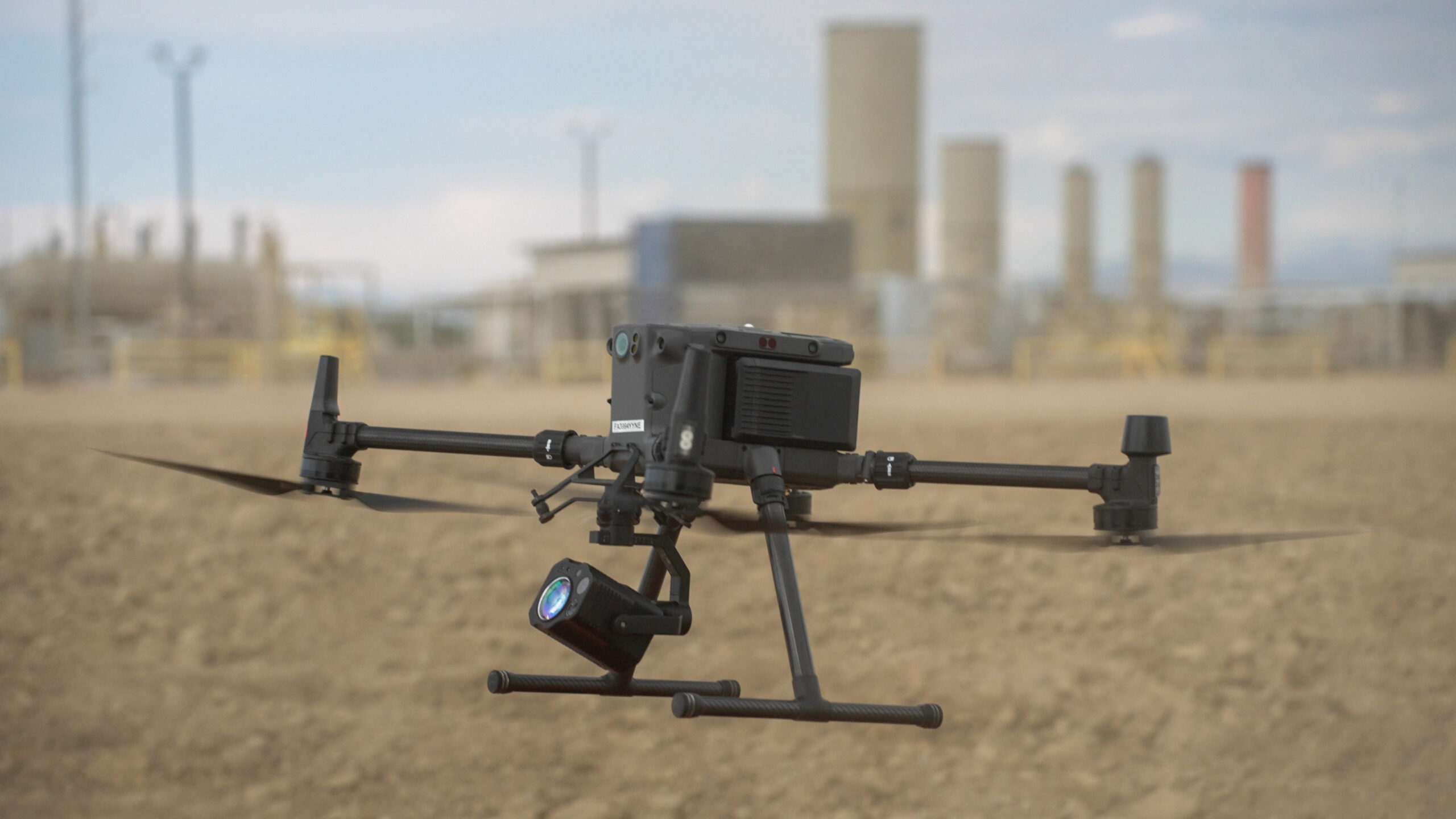
The concept is relatively simple: instead of having someone walk the pipeline carrying a gas detector, or relying exclusively on a manned aircraft, a drone carries a specialized gas detection sensor along the pipeline right-of-way.
The technology behind it is a little more interesting.
For natural gas pipelines, drones can carry laser-based methane detection sensors capable of identifying methane concentrations while flying above the pipeline from 100-400 feet.
Many of these systems use technologies such as Tunable Diode Laser Absorption Spectroscopy, or TDLAS, to detect methane remotely. Rather than requiring the sensor to physically fly through a gas plume, a laser can measure methane present along the optical path between the aircraft and the surface below.
That allows a drone to continuously collect methane measurements while following the pipeline.
When an elevated reading is identified, its location can be recorded and provided to the pipeline operator for investigation.
At Arch Aerial, we combine that sensor data with the aircraft’s GPS information, imagery and flight records to create a georeferenced record of the survey.
Yes.
This isn’t just drone companies saying the technology works.
PHMSA has funded research specifically focused on drone-mounted remote sensing technologies for detecting natural gas leaks under operational conditions on transmission and distribution pipeline systems. That research included field testing across environments ranging from rural to urban areas and was intended to validate both methane detection instruments and the methods used to deploy them from unmanned aircraft.
The U.S. Department of Energy has also supported development and field use of drone-mounted methane detection. Following Hurricane Harvey, a laser-equipped drone was used in Texas to survey natural gas infrastructure, including gas lines affected by flooding.
PHMSA has separately described unmanned aerial systems as part of the emerging generation of mobile leak detection technology available to the pipeline industry.
So the short answer is: yes, people are doing this, and the technology has been under development, validation and operational deployment for years.
Yes, under the right conditions.
The drone isn’t seeing through the ground.
When natural gas escapes from a buried pipeline, the gas can migrate through the surrounding soil and reach the surface. A methane sensor flying above the pipeline can detect that gas once it enters the sensor’s measurement path.
That distinction is important.
A drone isn’t producing an X-ray of the buried pipeline. It is looking for evidence of gas escaping from the pipeline and reaching the surface.
Weather, wind, vegetation, soil conditions, leak size, pipeline depth, flight altitude and sensor sensitivity can all affect detection performance. That is why the aircraft and sensor are only pieces of the overall leak detection program.
Scale.
Walking is still useful, particularly when investigating a known issue or surveying a concentrated area. But it becomes difficult when an operator is responsible for dozens, hundreds or thousands of miles of pipeline.
A properly configured drone can move continuously along the right-of-way while collecting methane measurements, GPS data and supporting imagery.
That means crews can cover substantially more infrastructure without requiring someone to physically traverse every mile of pipeline.
There are other advantages too.
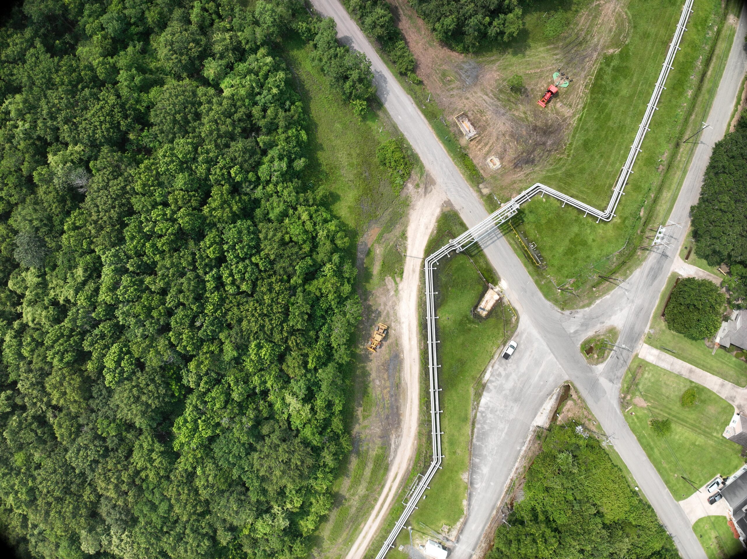
The aircraft can access difficult terrain, reduce personnel exposure around roads and other hazards, and create a digital record of exactly where elevated readings were identified.
For large pipeline systems, those differences add up quickly.
Finding a methane reading is only useful if the operator can do something with it. That’s why we think the reporting workflow is just as important as the sensor.
Depending on the program, Arch Aerial’s methane leak detection deliverables can include georeferenced methane measurements, identified elevated readings or anomalies, GPS coordinates for each identified location, pipeline and right-of-way imagery, flight records, maps showing identified locations, supporting photographs, documentation for follow-up investigation, and historical records that can be compared against future surveys.
Instead of simply reporting that a crew surveyed a segment of pipeline, the operator is left with a digital dataset documenting where the aircraft flew and what the sensor observed.
Yes.
This is where the aircraft and operating model become especially important.
A short-range multirotor flying entirely within visual line of sight is very different from a pipeline operation designed around long linear infrastructure.
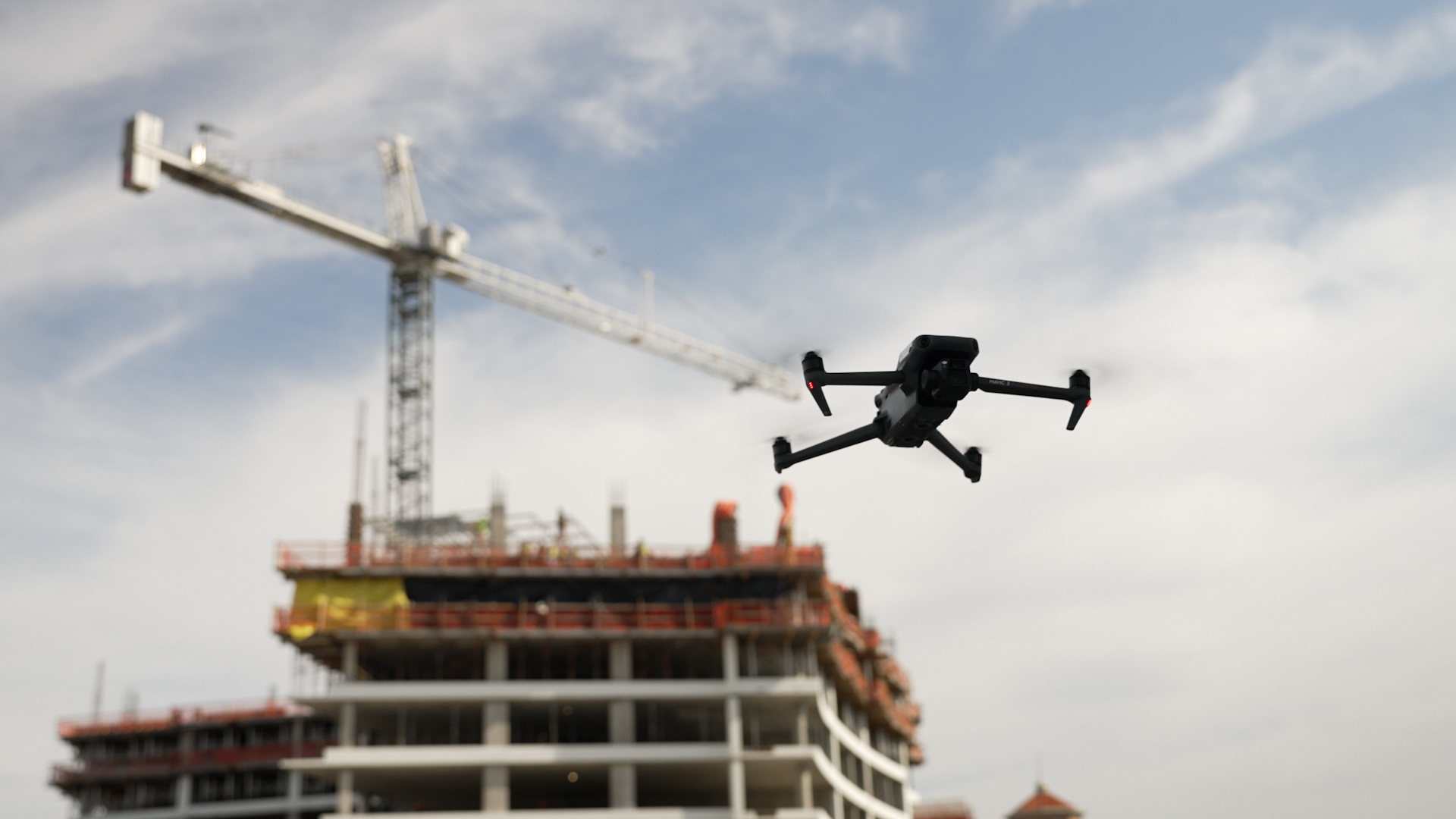
Arch Aerial operates both multirotor and long-range UAS depending on the project. We have also invested extensively in Beyond Visual Line of Sight, or BVLOS, operations to make unmanned aircraft practical for large linear assets.
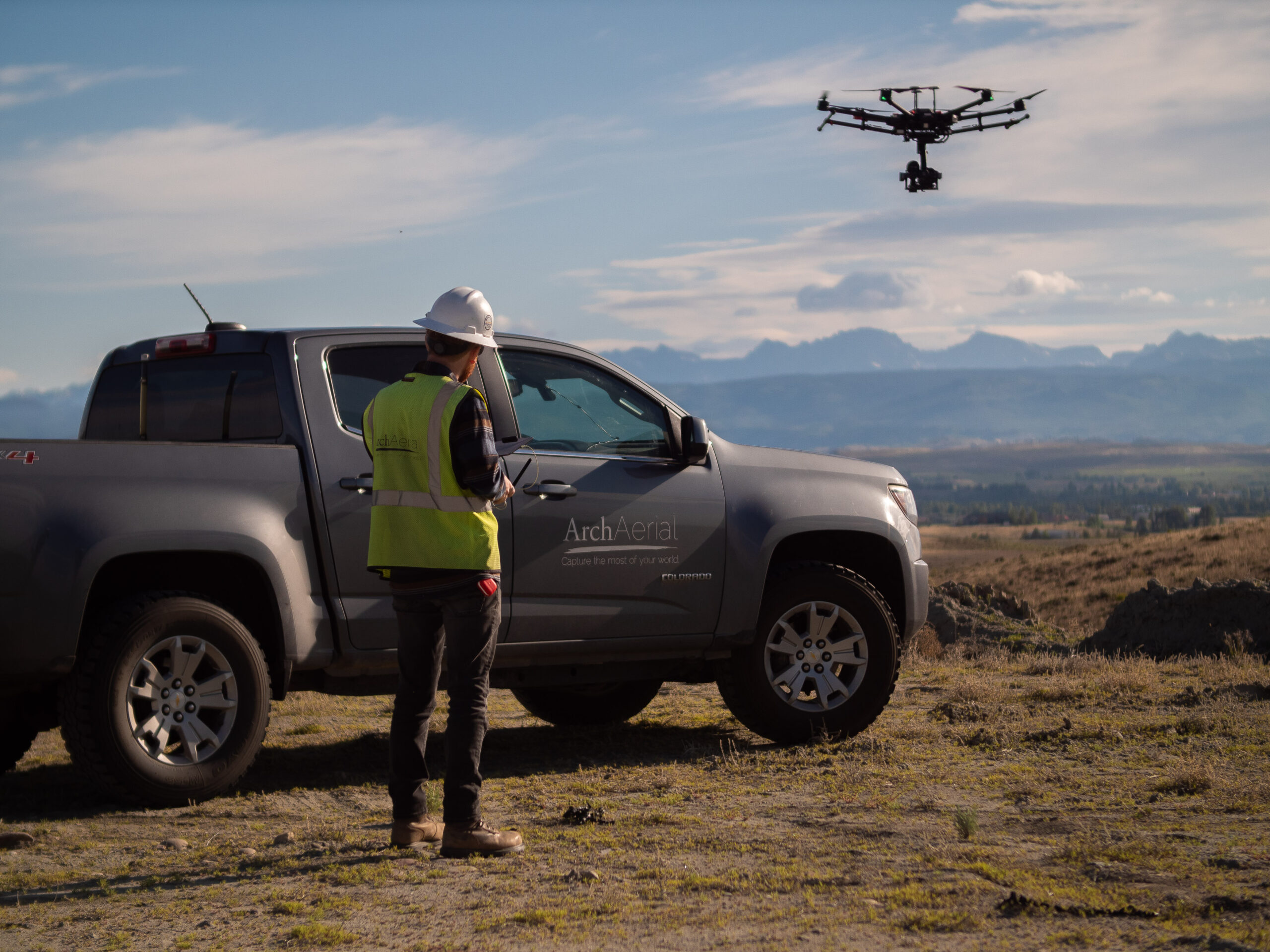
For a large project, we may have multiple crews operating across different portions of a pipeline system simultaneously.
We’ve supported leak detection projects covering hundreds of miles along the Gulf Coast and other pipeline systems where drone operations are being deployed at a scale that would traditionally have required significant ground crews or manned aviation resources.
The challenge isn’t simply putting a methane sensor on a drone.
It’s building an operation that can reliably move that sensor across a large pipeline network.
Sometimes. More often, it’s becoming another tool in the toolbox.
There are situations where walking a pipeline makes sense.
There are situations where a vehicle-based survey makes sense.
There are situations where manned aircraft make sense.
And there are increasingly situations where putting a sensitive methane detector on an unmanned aircraft provides a better way to cover a large amount of infrastructure.
PHMSA itself describes aerial and land-based surveillance as routinely used alongside other leak detection systems.
Whether a drone program satisfies an operator’s patrol and leakage survey requirements is its own question. We cover it in Using Drones for PHMSA Pipeline Patrols and Leak Detection.
The question we hear from operators is changing.
A few years ago, it was: “Can you actually detect methane from a drone?”
Today it’s increasingly: “How many miles can we cover, what sensitivity can we achieve, and what does the data look like?”
That’s a very different conversation.
This article is provided for general informational purposes and is not legal or regulatory advice. Pipeline operators are responsible for determining the regulations, procedures and inspection methods applicable to their individual systems.
Yes. Drones can carry specialized methane detection sensors, including laser-based systems, that identify methane concentrations while flying above natural gas pipelines.
Yes, when methane escaping from a buried pipeline migrates to the surface and enters the sensor’s measurement path. Detection performance depends on factors including leak size, weather, wind, pipeline depth, terrain and sensor capability.
Several technologies are available. Laser-based methane sensors, including systems utilizing Tunable Diode Laser Absorption Spectroscopy (TDLAS), are commonly used because methane can be detected remotely from an aircraft.
It depends heavily on the aircraft and operating environment. Properly designed long-range and BVLOS drone operations can support leak detection projects covering hundreds or thousands of pipeline miles.
Not necessarily. A methane reading identifies methane present in the measurement area. Additional investigation may be necessary to determine the exact source.
No. Research and technology development are continuing, but drone-mounted methane detection has already been field tested and commercially deployed on operating pipeline systems. PHMSA has funded research specifically evaluating UAS-mounted leak detection technologies under real pipeline operating conditions.
Yes. Arch Aerial performs aerial methane detection and other pipeline inspection services using UAS platforms selected around the size of the system, required sensor, terrain and operating environment. Our teams support both targeted inspections and large linear pipeline programs.