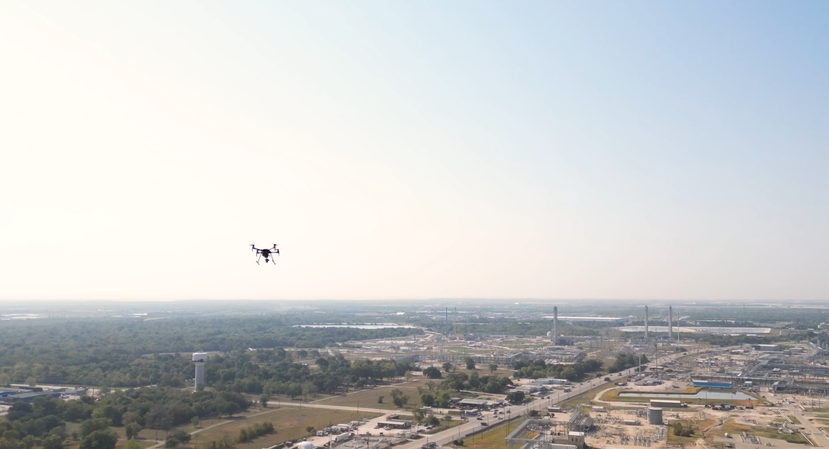
Data built to make a difference.Drone-based aerial mapping for midstream operators.
High resolution 2D mapping data, captured and tailor-made for pipeline operators.
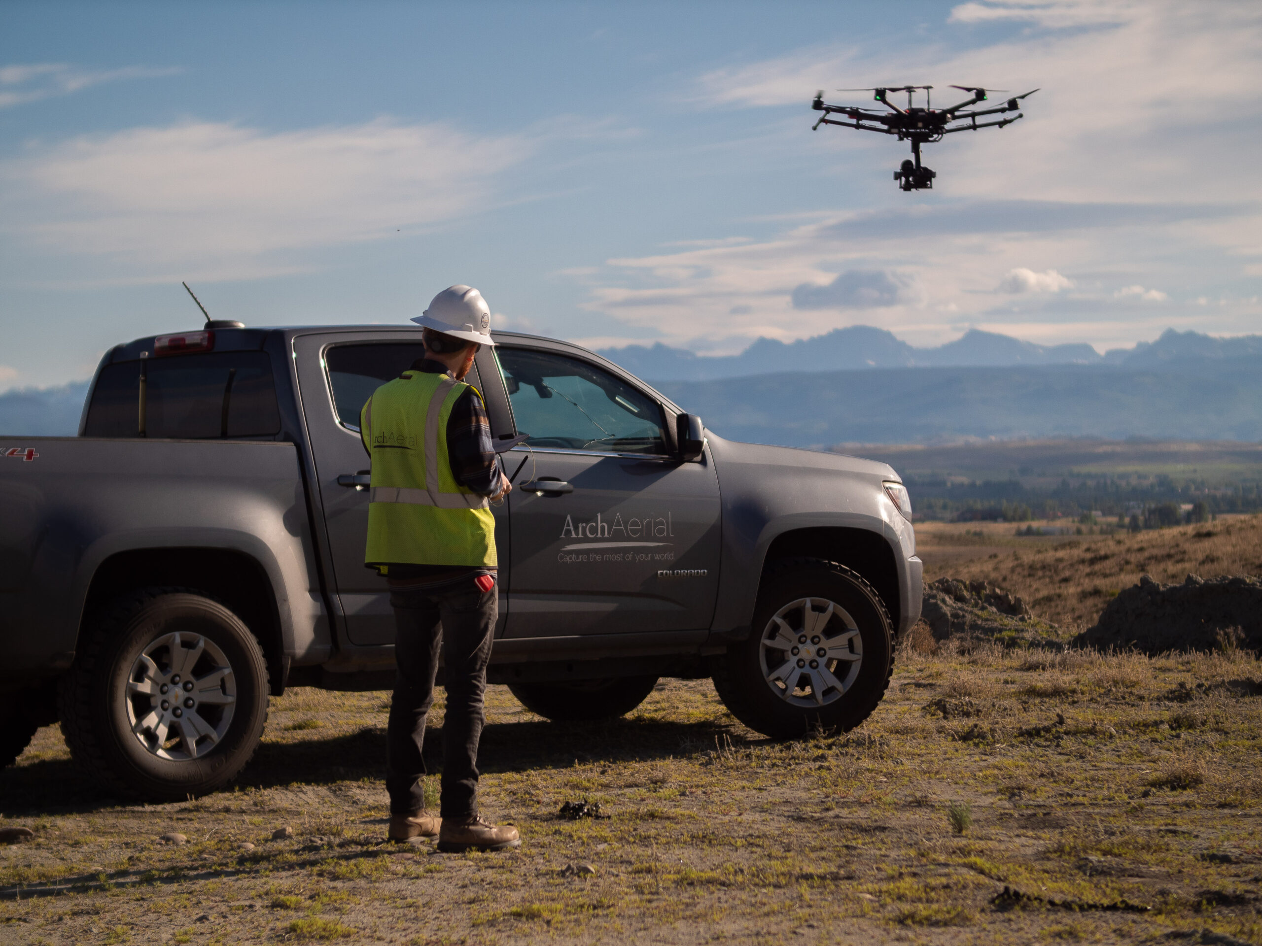
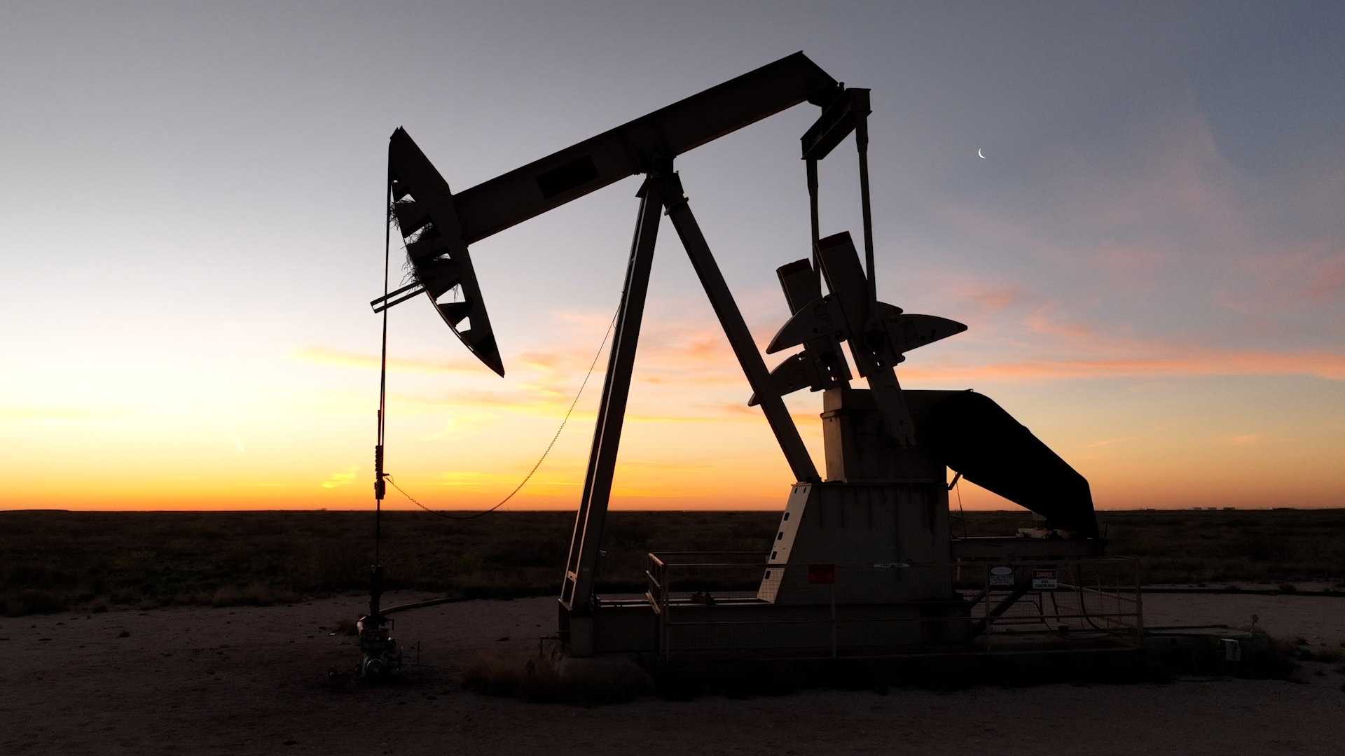
At Arch Aerial LLC, we specialize in aerial mapping and data acquisition for pipeline right-of-way (ROW) development and monitoring in the midstream oil and gas industry. Our drone-based surveying solutions provide high-resolution geospatial data to support route planning, permitting, construction, and compliance monitoring.
Optimize Midstream Operations with Drone Mapping
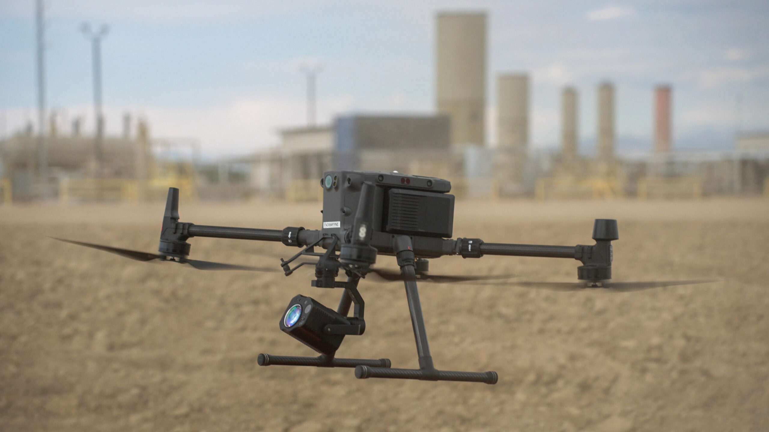
Our UAS (unmanned aerial systems) deliver fast, cost-effective, and safe right-of-way mapping for pipelines across diverse terrains and project scopes. By integrating RTK/PPK GPS, LiDAR, and multispectral imagery, we provide the detailed deliverables necessary for:
Route feasibility and planning
Topographic and volumetric surveys
Vegetation encroachment analysis
Erosion and environmental impact monitoring
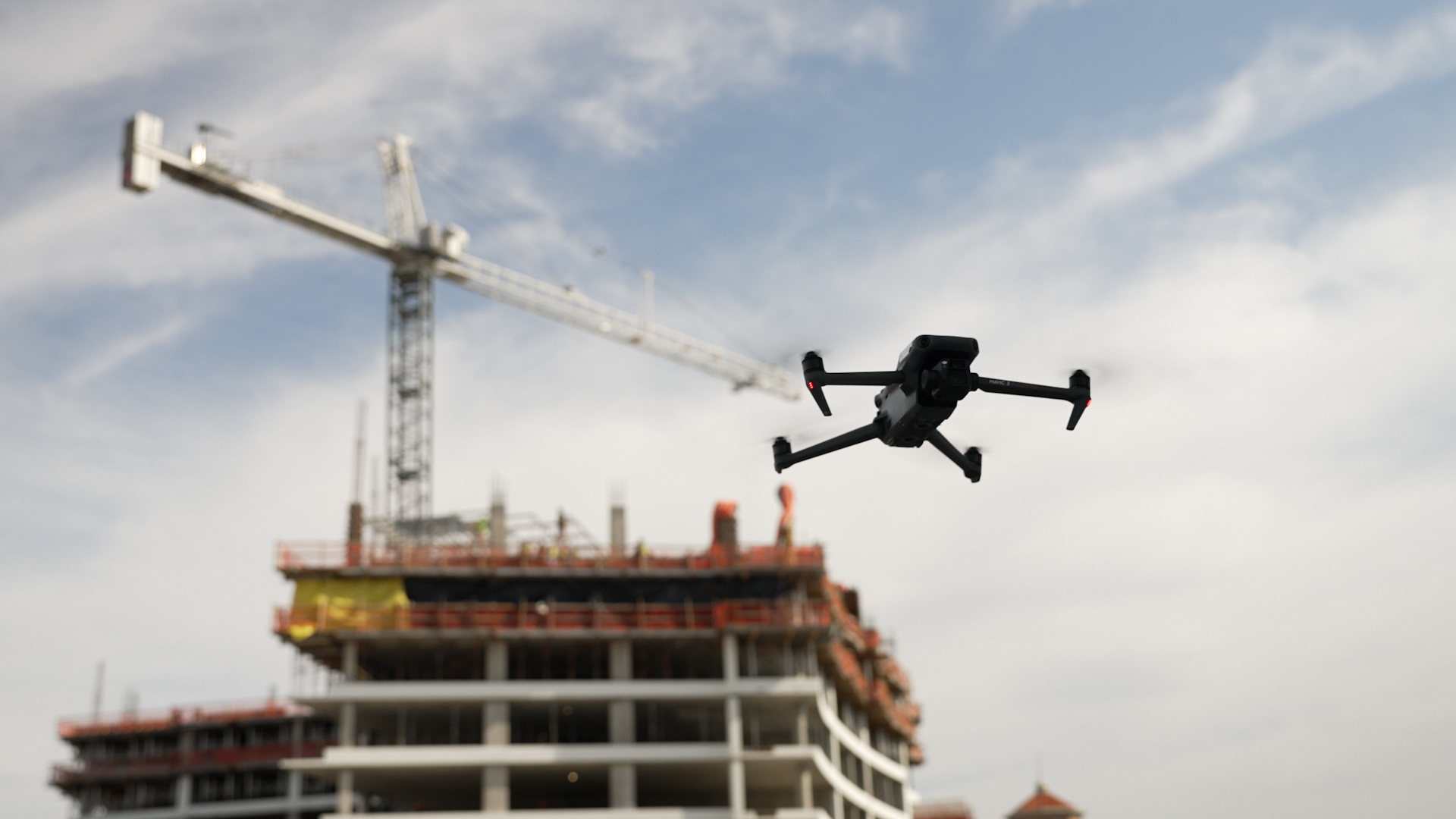
Construction progress documentation
As-built verification and GIS integration
Why Choose Arch Aerial?
Industry Expertise – We understand the regulatory, environmental, and operational complexities of midstream pipeline projects.
Data Accuracy – Our drone mapping technology delivers centimeter-level accuracy with rapid turnaround times.
Safety & Efficiency – Reduce time in the field and exposure to hazardous terrain while improving data reliability.
Scalable Services – From pre-construction surveys to long-term ROW asset monitoring, we scale our solutions to meet your needs.
Supporting Every Phase of the Pipeline Lifecycle
Whether you’re managing a greenfield project or maintaining existing infrastructure, our aerial mapping services provide the insight and documentation required for regulatory compliance, stakeholder reporting, and operational decision-making.
Get Started Today
Partner with Arch Aerial LLC to streamline your midstream pipeline projects with high-quality aerial mapping and drone surveying. Contact us now to learn how our UAV solutions can support your right-of-way development and monitoring goals.