

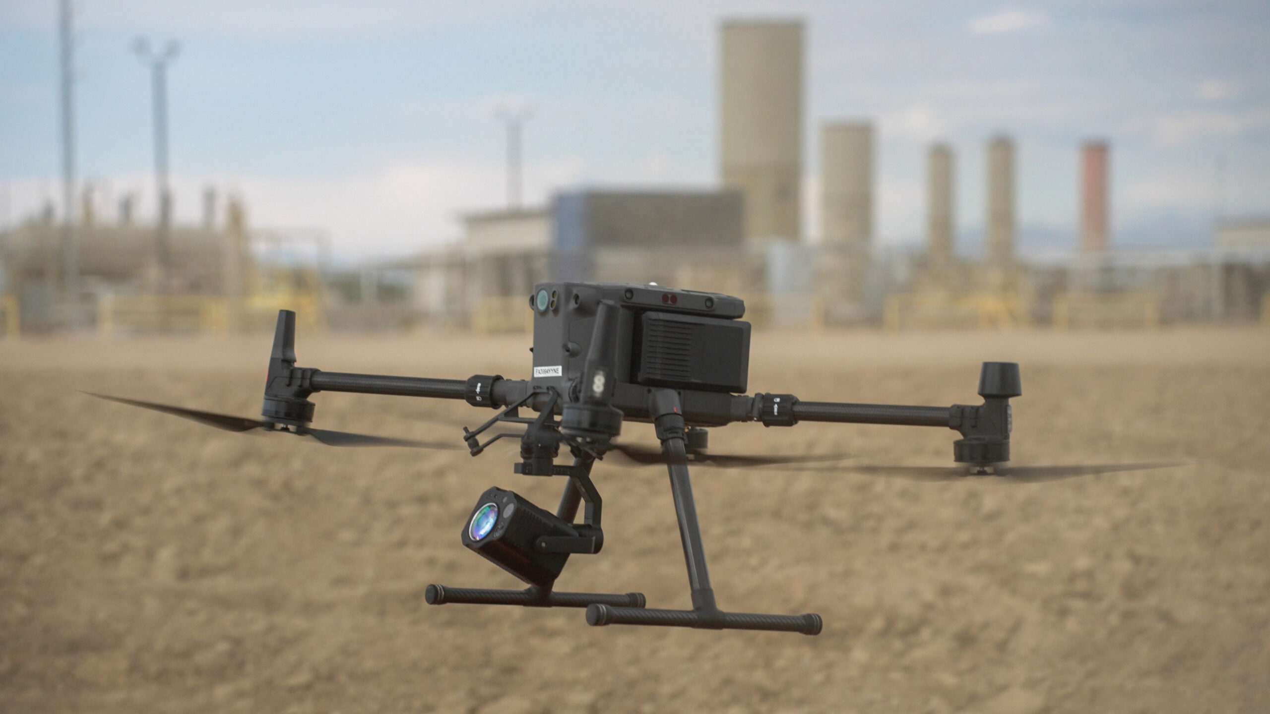

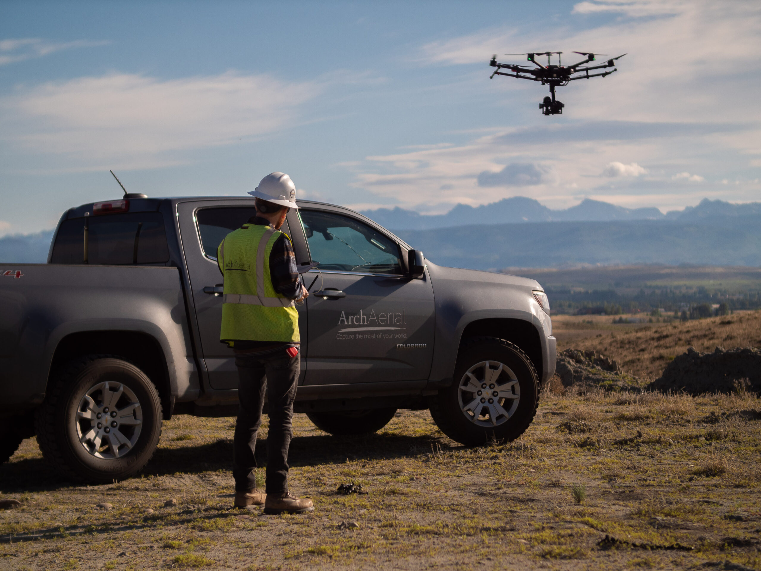
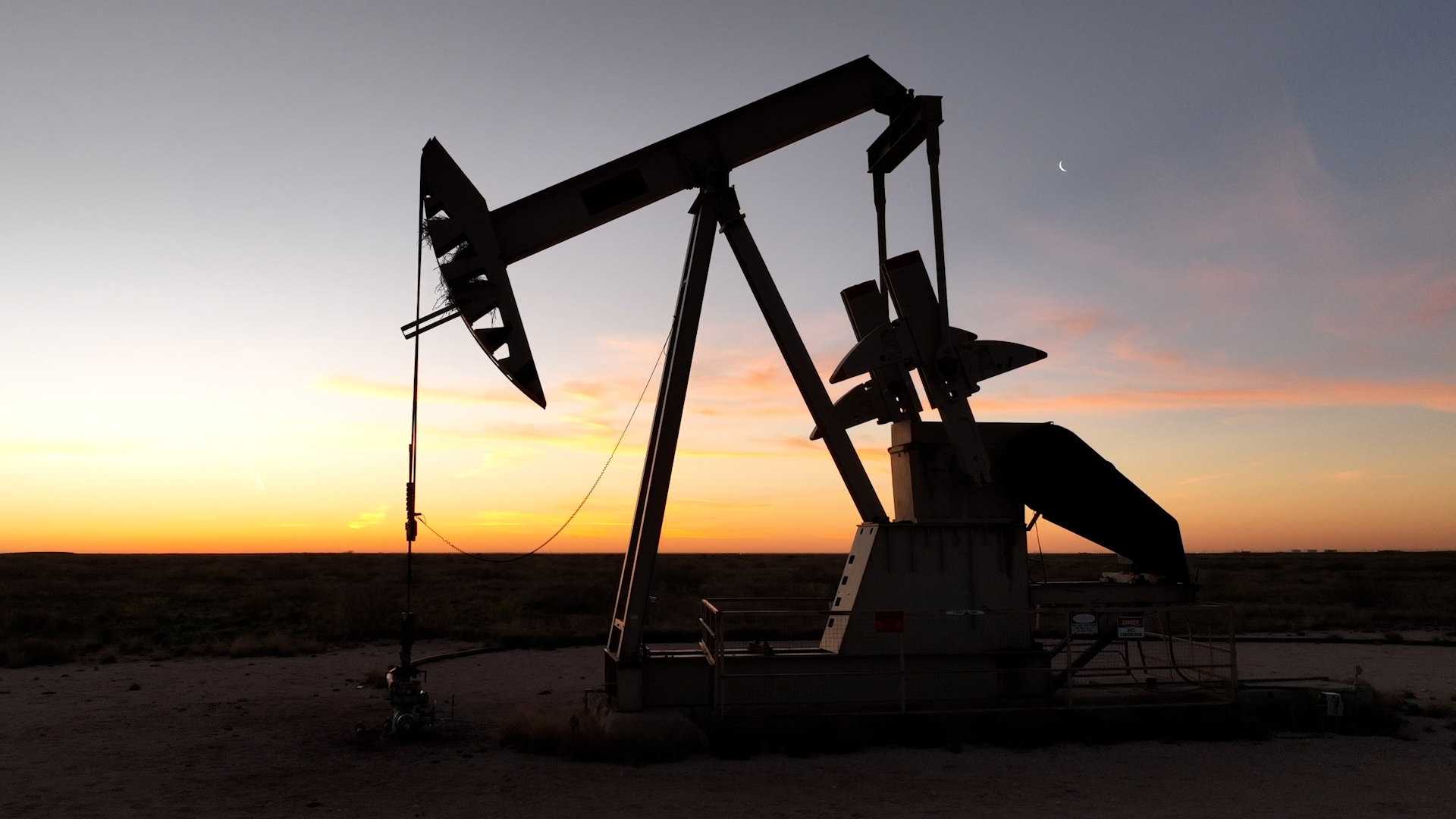
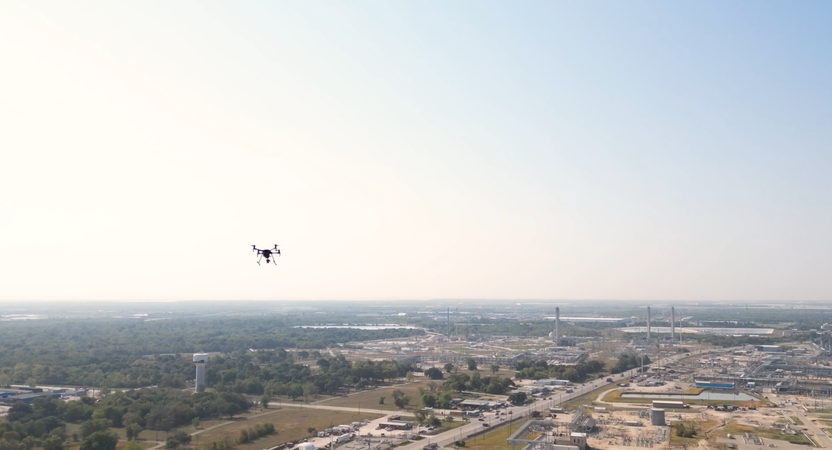
Visual Documentation for Midstream Pipeline Projects At Arch Aerial LLC, we deliver high-quality aerial videography for pipeline rights-of-way (ROW), helping midstream oil and gas operators visually monitor and document their infrastructure from planning through operations. Our drone video solutions provide a clear, comprehensive view of linear assets—enhancing stakeholder…
Mapping – Facilities
Detail you need. Get the detail that satellite and manned aircraft can’t provide. Arch Aerial LLC provides advanced aerial mapping and data solutions tailored to the needs of midstream oil and gas facilities, including compressor stations, metering sites, storage terminals, and pump stations. Our drone-based…
Mapping for Right of Ways
Data at scale. High resolution 2D mapping data, captured and tailor-made for pipeline operators. At Arch Aerial LLC, we specialize in aerial mapping and data acquisition for pipeline right-of-way (ROW) development and monitoring in the midstream oil and gas industry. Our…
Aerial Pipeline Encroachment Patrols
Data at scale. Aerial encroachment patrols that make your life easier. Protect your assets, ensure compliance, and maintain operational integrity with Arch Aerial LLC’s industry-leading pipeline aerial encroachment patrol services. Designed specifically for midstream oil and gas companies, our patrol flights provide accurate, high-resolution…