Using Drones for PHMSA Pipeline Patrols and Leak Detection
TL;DR: Federal pipeline regulations require patrol and leak detection programs but don’t mandate a specific aircraft type. PHMSA has confirmed drones are acceptable under 49 CFR § 192.705 and § 195.412. A properly designed drone program doesn’t just document that a patrol happened. It creates a reviewable, georeferenced record of what the right-of-way actually looked like on a given date.
This article is for general informational purposes only and is not legal or regulatory advice.
One of the most common questions we get from pipeline operators is pretty straightforward: Can drones actually be used to satisfy pipeline patrol and leak detection requirements?
In the right application, yes.
Federal pipeline regulations have historically been written around the effectiveness of the inspection, not around requiring a particular type of aircraft. PHMSA has also specifically addressed the use of unmanned aircraft for pipeline right-of-way patrols.
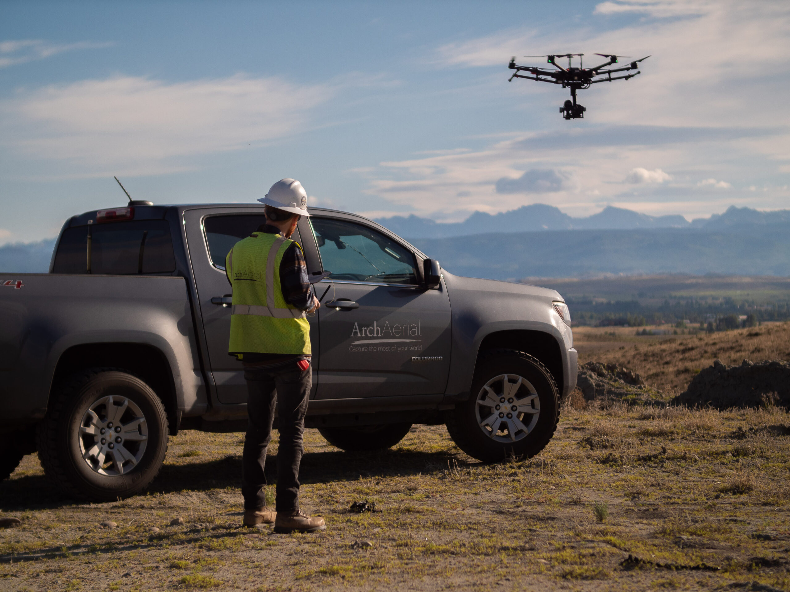
For Arch Aerial, this isn’t theoretical. We’ve supported pipeline operators across thousands of miles of infrastructure, and our patrol and leak detection data has been reviewed as part of multiple PHMSA and Railroad Commission of Texas audits.
What the Regulations Actually Say
For natural gas transmission pipelines, 49 CFR § 192.705 requires operators to maintain a patrol program that observes conditions on and adjacent to the pipeline right-of-way for indications of leaks, construction activity and other factors affecting safe operation.
Importantly, the regulation says acceptable methods of patrolling include “walking, driving, flying or other appropriate means of traversing the right-of-way.”
For hazardous liquid pipelines, 49 CFR § 195.412 similarly requires inspection of surface conditions on or adjacent to the pipeline right-of-way and specifically lists walking, driving, flying or other appropriate means as acceptable inspection methods.
PHMSA has gone a step further on drones specifically.
In a 2021 regulatory interpretation requested by Shell Pipeline Company, PHMSA addressed whether drones could be used to perform required right-of-way inspections under § 195.412. PHMSA concluded that the regulation does not exclude UAS and that drones may be used where aerial inspection is appropriate, provided the imagery has sufficient resolution to observe the necessary surface conditions.
That last point matters. The question isn’t simply whether an aircraft has a pilot onboard. The question is whether the inspection method produces the information necessary to perform the required patrol.
For gas transmission pipelines, 49 CFR § 192.706 establishes required leakage survey intervals, including circumstances where leak detection equipment must be used.
PHMSA’s regulatory history is also clear that the rules were intentionally written in performance-based language. In the original rulemaking discussion surrounding these requirements, the agency specifically noted that both aerial patrols and aerial leakage surveys may be acceptable where they are appropriate and effective.
The technology has obviously changed dramatically since those rules were written.
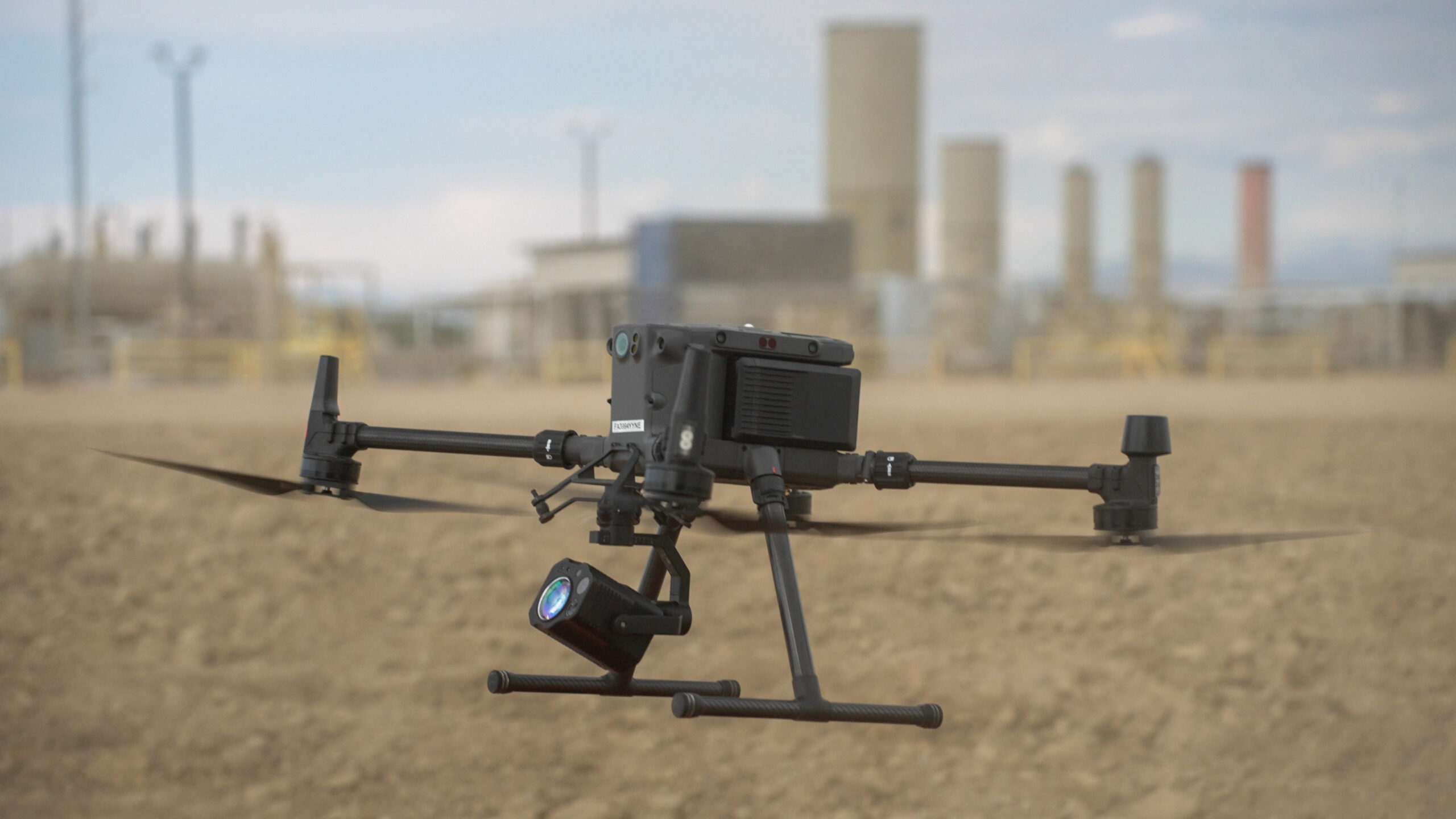
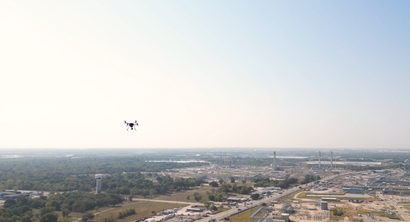
Today, methane sensors can be integrated directly onto unmanned aircraft and flown at low altitude along pipeline corridors. PHMSA itself has funded research into UAS-mounted remote sensing technology for detecting natural gas leaks under actual pipeline operating conditions.
At Arch Aerial, our methane detection programs combine the aircraft, sensor, flight methodology and reporting workflow into a repeatable inspection program. Depending on the application, that can include georeferenced methane measurements, imagery, GPS flight records, identified anomalies and supporting documentation that gives the operator a permanent digital record of the survey.
The important distinction is that technology alone doesn’t create compliance. The aircraft, sensor, procedures, operating environment and operator’s applicable regulatory requirements all have to be considered together.
Building an Audit-Ready Record
This is where we think drones offer one of their biggest advantages.
A traditional patrol may ultimately leave an operator with a record showing that the patrol occurred and documenting the exceptions that were identified.
With a properly designed drone program, the patrol itself can create a much deeper digital record.
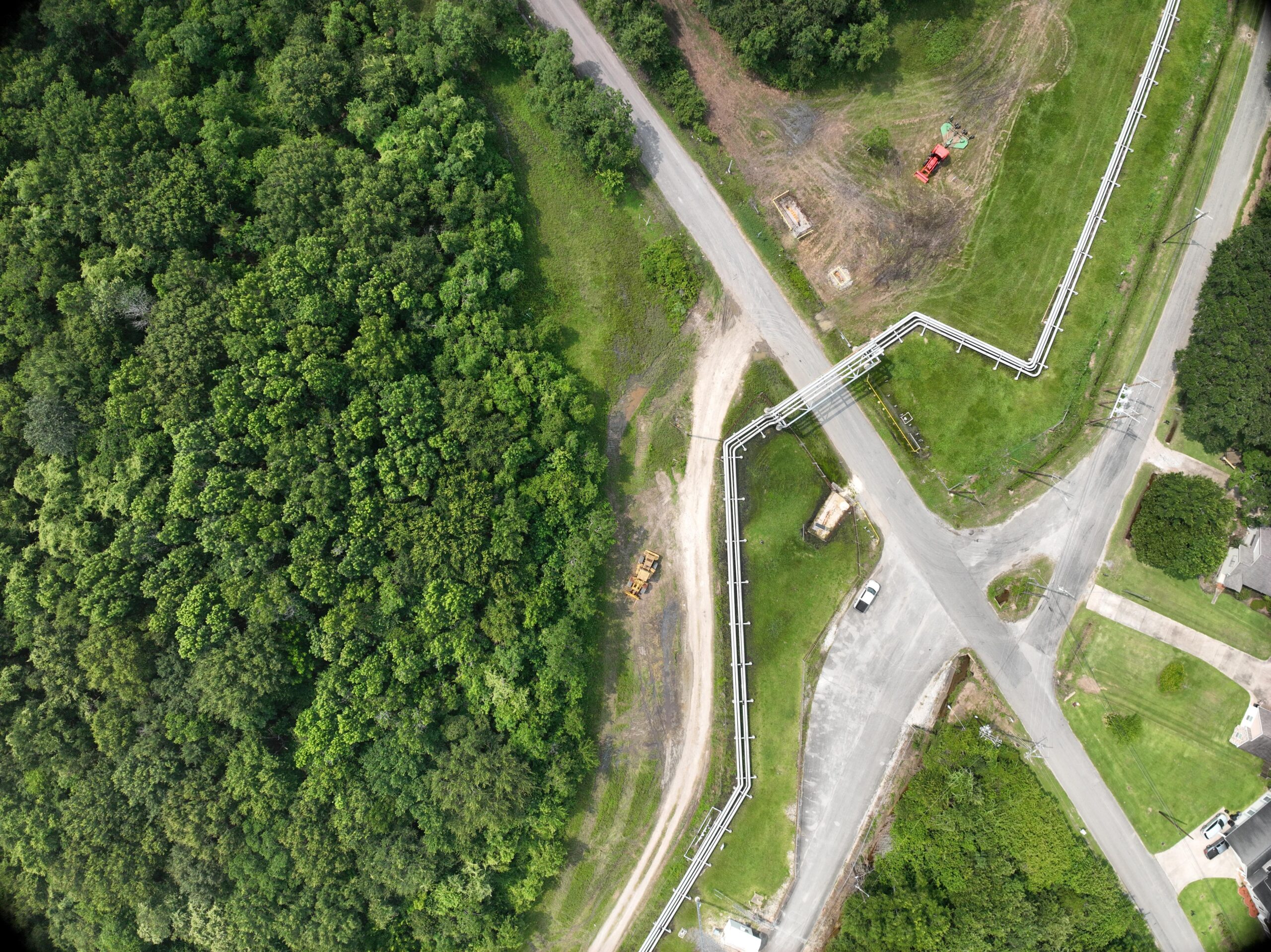
Arch Aerial’s pipeline patrol programs can capture low-altitude imagery continuously along the right-of-way, with photographs collected approximately every two seconds. Those images are tied to location data and retained so operators can go back and review what was actually visible along a particular segment on a particular date.
The result isn’t just evidence that a patrol occurred. It is a reviewable record of the condition of the right-of-way at the time it occurred.
That difference becomes particularly valuable when an operator is responding to an audit, investigating an encroachment, comparing conditions over time or trying to determine when a particular condition first became visible.
We've Seen It Go Through the Audit Process
Our customers have used Arch Aerial patrol and leak detection records during multiple regulatory audits involving both PHMSA and the Railroad Commission of Texas.
That does not mean PHMSA or the RRC has issued a blanket approval of Arch Aerial or that using a drone automatically makes any particular patrol program compliant. Operators remain responsible for determining and documenting compliance with the regulations applicable to their systems.
What we can say is that our data and reporting have been put in front of regulators repeatedly as part of our customers’ compliance records.
And the feedback from customers has been consistently positive: a detailed, georeferenced digital record can be a much better mousetrap than simply documenting that an aircraft flew the pipeline.
That is particularly relevant in Texas, where the RRC incorporates federal pipeline safety standards, including 49 CFR Parts 192 and 195, into its pipeline safety framework for applicable intrastate systems.
The Technology Has Changed. The Objective Hasn't.
Drones give operators another way to accomplish those objectives. And when the program is designed correctly, they can also create a level of documentation that would have been difficult or prohibitively expensive to collect using traditional methods.
That’s where Arch Aerial has focused: not simply replacing a helicopter with a drone, but building an aerial inspection program around the actual operational and regulatory needs of pipeline operators.
For operators evaluating drone-based right-of-way patrols, methane leak detection, or a combination of the two, we’re happy to share what we’ve learned from putting these programs into practice across real pipeline systems.
This article is provided for general informational purposes only and is not legal or regulatory advice. Regulatory requirements vary based on pipeline type, jurisdiction, location, operating characteristics and an operator’s procedures. Pipeline operators should determine the requirements applicable to their systems and consult their regulatory or legal advisors as appropriate.
"Arch Aerial's encroachment patrols enabled us to eliminate 176 hours of prep time for Railroad Commission audits."
Targa Resources
Pipeline Supervisor
"Arch Aerial has done a terrific job and they are such a please to work with. They are always on time, professional and the quality of their drone photos and videos are outstanding."
Turner
Project Manager
"They are quick to respond to our requests and we can count on them to deliver good quality images. I highly recommend Arch Aerial for your construction project aerials needs!"