
Arch Aerial is a drone services company helping energy and construction operators capture the most of their world.
If you want to build a digital twin of an existing compressor station, terminal, plant, tank battery or other industrial facility, one of the easiest places to start is with a high-resolution 3D model of what is actually there today.
Using drone-based photogrammetry, Arch Aerial can capture an entire industrial facility from the air and reconstruct it as a detailed, georeferenced 3D model. The finished asset can be accessed through a web browser, giving engineering, operations, GIS and project teams the ability to virtually revisit the facility without sending someone back into the field.
That alone can provide a significant amount of value. You do not necessarily need to begin with a massive enterprise digital twin initiative to make industrial 3D modeling useful.
Arch Aerial provides aerial 3D modeling services for energy facilities, including compressor stations, terminals and other midstream infrastructure.
“Digital twin” has become a buzzword, and depending on who you ask, it can describe very different things.
For one organization, a digital twin might mean a highly detailed 3D representation of an existing facility. For another, it might mean that same 3D environment connected to GIS layers, engineering drawings, maintenance records, inspection information, asset databases or live operational sensor data.
Both can be useful.
We generally recommend starting with the physical asset itself. Before worrying about connecting every database and sensor in the organization, create an accurate, high-resolution representation of the facility that your team can actually use.
A georeferenced photogrammetric model gives you that foundation. Because the model exists in real-world coordinates, it can later be integrated with other geospatial, engineering or asset information if the use case calls for it.
It does not have to start there, though. Being able to open a browser, navigate around one of your facilities in 3D and understand what is physically there has considerable value on its own.
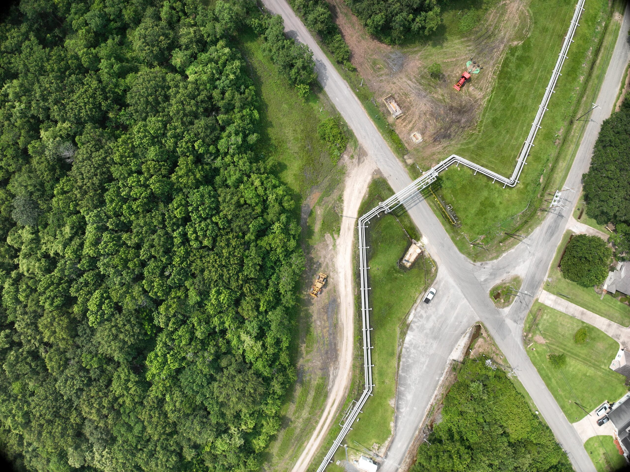
The process starts with aerial data capture.
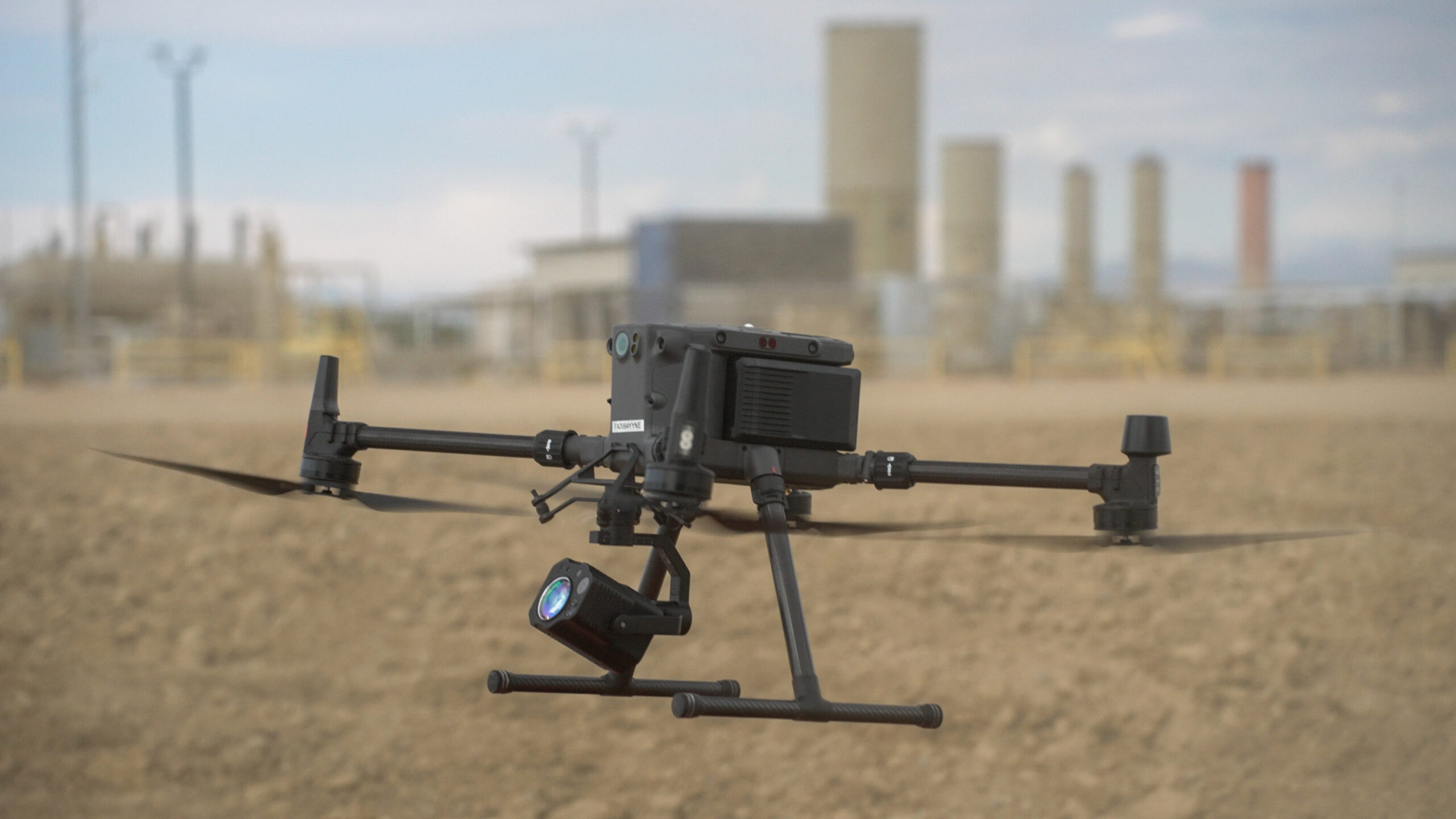
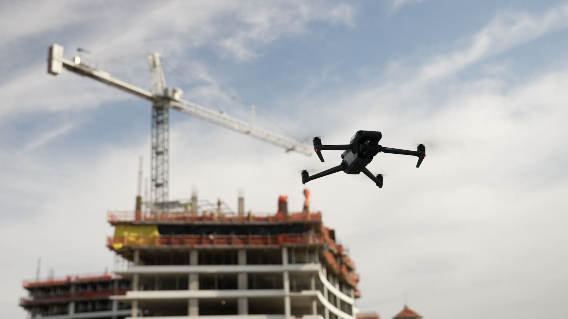
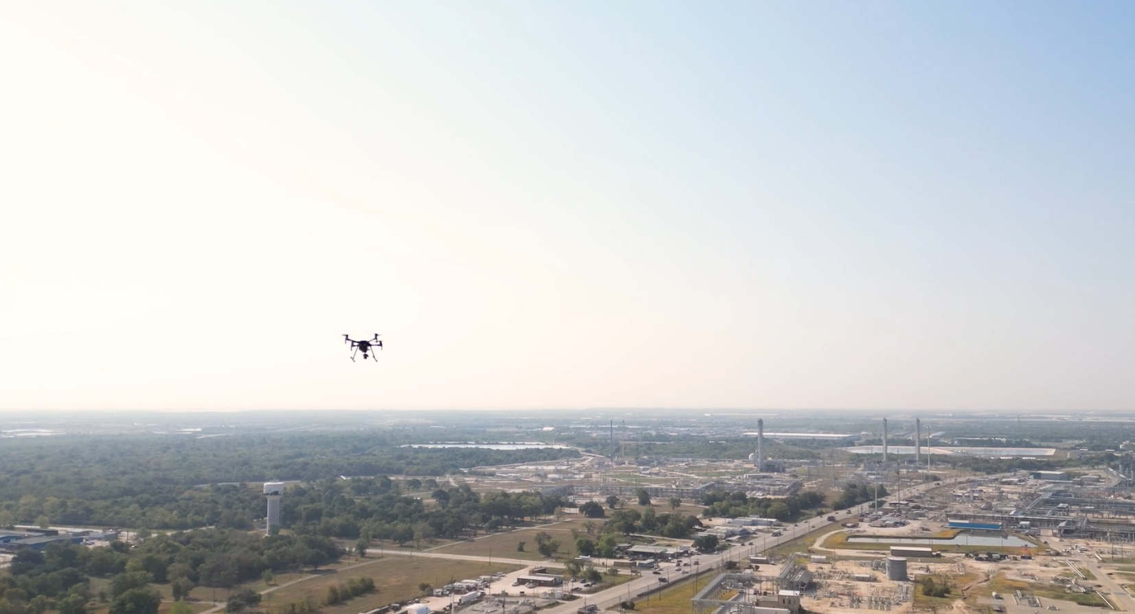
Arch Aerial’s drone crews collect hundreds or thousands of overlapping high-resolution images around the facility. Those photographs are captured from multiple altitudes and viewing angles so that buildings, piping, equipment, tanks and other aboveground infrastructure can be reconstructed in three dimensions.
Photogrammetry software uses common points between those images to calculate the shape and position of objects throughout the site. The result is a high-resolution, photorealistic 3D representation of the facility rather than a collection of disconnected photographs.
Our 3D modeling service can produce georeferenced 3D models, textured meshes, point clouds, orthomosaics and related geospatial datasets depending on what the customer ultimately needs.
For applications where terrain, vegetation or specific measurement requirements are important, we can also incorporate aerial LiDAR into the capture program.
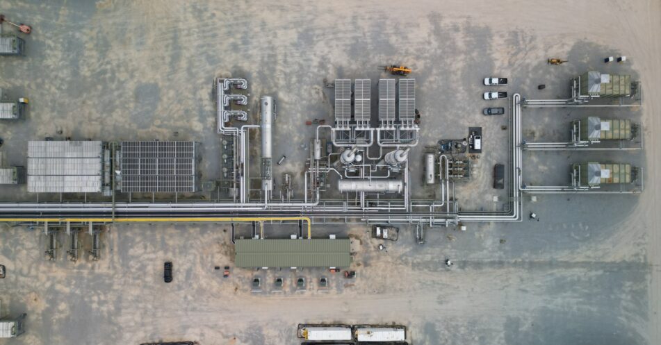
Industrial facilities contain a lot of information in a relatively small footprint. A compressor station may contain buildings, piping, valves, vessels, electrical infrastructure, access roads, fencing and dozens or hundreds of other visible components.
Traditionally, answering a question about existing conditions may involve finding old drawings, looking through folders of photographs or sending someone to the facility to take new measurements and pictures. Even then, the information they collect is usually limited to whatever they knew to photograph while they were there.
Aerial photogrammetry changes that model. Instead of documenting individual items one at a time, the objective is to capture the entire visible facility comprehensively.
Once the model exists, someone can return to the site virtually and look at areas they may not have originally realized were important. That can save field time, reduce unnecessary travel and give teams a common visual reference when discussing an asset.
Our aerial inspection services use the same broader philosophy. The value of drone capture is not simply putting an aircraft in the air. It is creating useful, repeatable data that lets people understand their assets without always needing to be standing next to them.
Buying a drone does not automatically give you a good 3D model.
Industrial photogrammetry requires the flight to be designed around the finished dataset. Image overlap, camera angle, altitude, flight paths, lighting and the geometry of the facility all influence the quality of the final reconstruction.
This becomes particularly important around piping and equipment. A simple overhead mapping flight may create an excellent map of the ground while doing a poor job reconstructing the sides of buildings, vertical equipment and complicated piping.
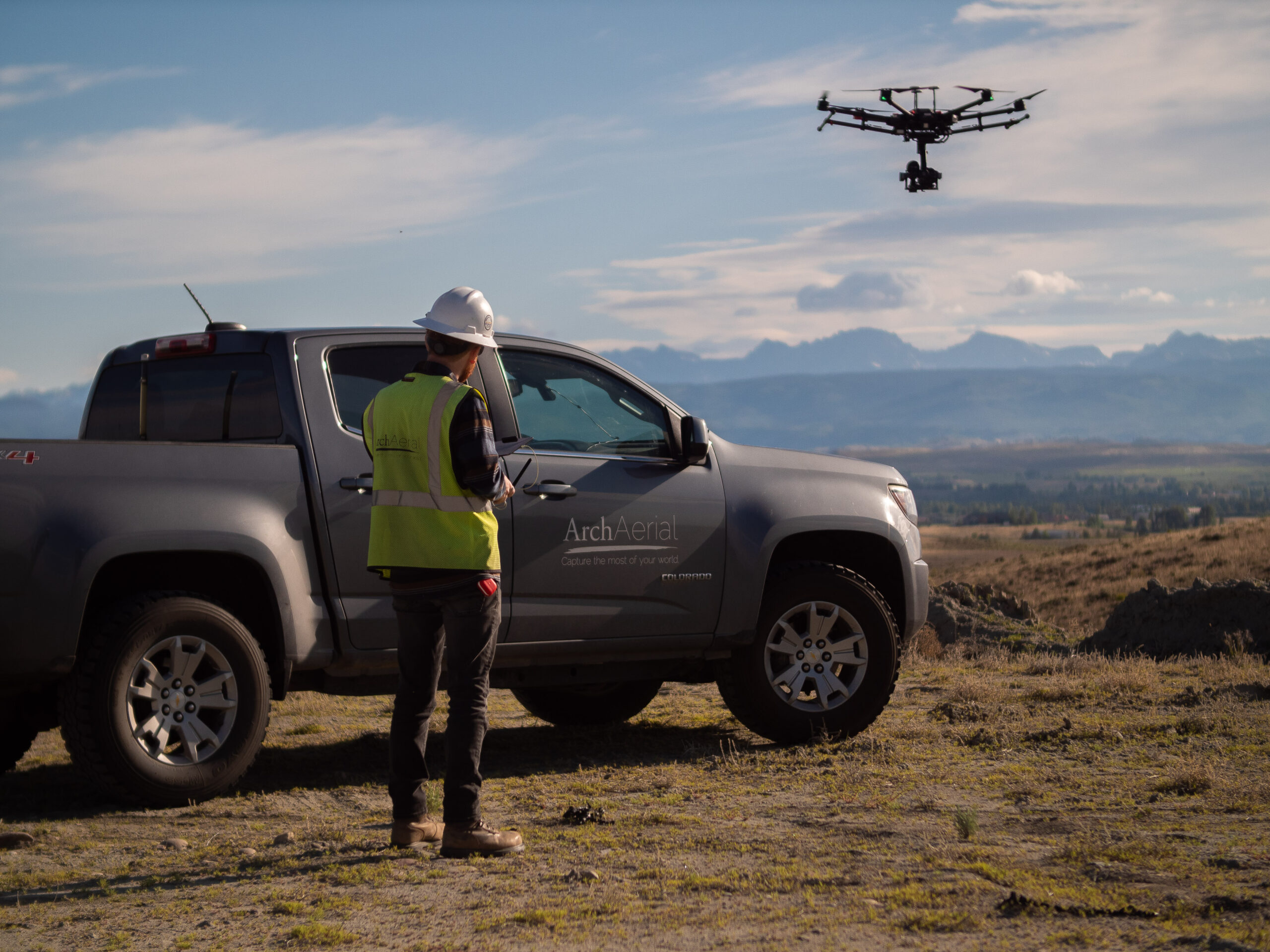
Arch Aerial handles the workflow from beginning to end. Our team plans the capture, operates the aircraft, processes the data, performs quality control and delivers a finished product your team can actually use.
We have been providing commercial drone data services to energy and construction companies for years, so your engineers and operators do not need to become photogrammetry experts to start using this technology.
For many customers, the most valuable deliverable is straightforward: a high-resolution 3D model of the facility that they can access through a browser.
A user can rotate around the asset, zoom into equipment, understand the relationship between different parts of the facility and visually revisit the site from their computer. That means someone in engineering, GIS, operations or management can look at the same representation of the facility without installing specialized photogrammetry software or traveling to the site.
This is where we think companies sometimes overcomplicate the digital twin conversation. You can absolutely connect 3D models to GIS systems, CAD environments, BIM platforms, asset databases and other enterprise datasets, and our models can support those workflows.
But you do not have to do all of that on day one.
A detailed, georeferenced and easily accessible 3D representation of your physical asset is already a powerful tool.
Yes, and this is where the concept becomes particularly interesting for energy companies.
Instead of thinking about 3D modeling as a one-off project, operators can establish a consistent capture standard and begin documenting an entire portfolio of facilities. We work with energy companies that are taking this approach with compressor stations and other assets rather than limiting reality capture to a single location.
The result can be a library of digital facilities that employees can access remotely. An operator could open a station in West Texas from an office in Houston, an engineer could review an existing site before planning a modification, or a project manager could better understand site conditions before a contractor mobilizes.
Once a workflow has been established, the same capture methodology, processing standards and deliverable structure can be repeated across dozens of locations. That makes 3D reality capture much more scalable than treating every facility as a completely new project.
One of the biggest advantages of a 3D model is that it does not have to belong to one department.
Engineering teams can reference existing conditions while planning changes. Operations teams can remotely review equipment and facility layouts. GIS teams can incorporate the georeferenced model into broader spatial datasets, while project managers can use it to understand access, staging areas and site constraints.
The same model can also support discussions with contractors, management and other stakeholders. Instead of everyone trying to interpret a two-dimensional drawing or a handful of photographs, they can look at the facility together.
If a project requires additional facility documentation, Arch Aerial also provides facility aerial videography and other visual inspection services that can complement the 3D dataset.
Yes. Because the models can be georeferenced, they can serve as a spatial foundation for additional datasets.
An operator could eventually associate the 3D environment with GIS features, asset identifiers, inspection records, maintenance information, engineering documentation or other enterprise data. That is where the concept begins moving toward the more sophisticated definition of a digital twin.
The important point is that you do not have to build that entire ecosystem before you start receiving value.
For many organizations, the first useful step is simply creating a high-quality digital representation of the physical world. Once people throughout the company begin using it, the organization can decide what additional information is worth connecting to it.
Photogrammetry and LiDAR solve somewhat different problems, and sometimes the best project uses both.
Photogrammetry is particularly good at creating detailed, visually realistic representations of industrial facilities because the finished model incorporates the actual imagery collected at the site. If the primary objective is to let someone virtually explore and visually understand the asset, photogrammetry can be extremely effective.
Drone-based LiDAR for energy facilities can provide additional value when the project requires dense point cloud information, terrain characterization, vegetation penetration or other specific geospatial deliverables.
Arch Aerial can determine the appropriate capture approach based on what your team actually wants to accomplish instead of forcing every facility into the same technology.
Measurements can be taken from appropriately captured and georeferenced photogrammetric models, although the required accuracy should always be considered when designing the project.
There is an important distinction between using a model to understand dimensions and relative positions and representing the dataset as a professional land survey or engineering-grade measurement source. If a project has specific accuracy requirements, those should be defined before the aircraft flies so the appropriate control, equipment and methodology can be selected.
For many operational and planning uses, even the ability to obtain preliminary measurements and understand spatial relationships remotely can eliminate unnecessary site visits.
Start with one facility.
Choose a compressor station, terminal, processing facility or other industrial asset that multiple people within your organization routinely need to reference. Have it captured and converted into a high-resolution 3D model, then put that model in front of the people who actually work with the facility.
Let engineering use it. Let operations use it. Send it to GIS. Pull it up during your next project meeting.
Once people are navigating a digital version of one of their own facilities in a browser, the use case becomes much easier to understand. From there, you can decide whether the next step is capturing more facilities, integrating additional geospatial information or developing a broader digital twin program.
You do not need to build an internal drone department or become an expert in photogrammetry to get started. Arch Aerial can handle the aerial capture, processing and delivery and help you build a repeatable program across one facility or an entire portfolio of industrial assets.
A digital twin does not have to begin as a massive software implementation. It can start with a simple objective: create a detailed digital representation of a physical facility and make it easy for the people responsible for that asset to access it.
For many industrial operators, that is already a significant improvement over scattered photographs, outdated drawings and repeated site visits. If the program eventually grows into something more sophisticated, the georeferenced 3D model gives you a strong foundation to build on.
Talk to Arch Aerial about capturing your first facility or developing a repeatable 3D modeling program across your assets.
For many existing industrial facilities, a good starting point is high-resolution reality capture. A drone can collect overlapping imagery around the site that is processed into a georeferenced 3D photogrammetry model. That model can be used independently or later connected to GIS, engineering and other asset data.
It can be part of one, although the term digital twin is used broadly. Some organizations use the term to describe a detailed digital representation of a physical facility, while others reserve it for systems that also incorporate asset information, sensors or operational data.
For most companies, the terminology matters less than the use case. A high-resolution 3D model that employees can access remotely can provide substantial operational value even before additional data is connected to it.
Yes. Arch Aerial can provide browser-based access to finished 3D models, allowing users to navigate and review facilities without needing to work directly in photogrammetry processing software.
Yes. Compressor stations are well suited to aerial photogrammetry because drones can capture buildings, equipment, piping and other aboveground infrastructure from multiple perspectives. Arch Aerial provides 3D modeling for midstream facilities and can standardize the process across multiple stations.
Yes. The objective of a properly designed photogrammetry flight is to capture the visible exterior of the facility comprehensively rather than photographing individual components independently. Areas that cannot be adequately seen from the air may require supplemental terrestrial capture or another technology.
Yes. Georeferenced photogrammetry models and related outputs can be incorporated into broader GIS and geospatial workflows. Arch Aerial’s 3D modeling services can provide outputs intended for integration into GIS, CAD and BIM environments.
Yes. Arch Aerial provides drone-based 3D photogrammetry modeling, LiDAR and related aerial data capture services for energy and industrial facilities. We can support a single proof-of-concept facility or help establish a standardized capture program across a larger portfolio.